Rundstrecke Lai Lung – Lai Ner


6 Bilder anzeigen

Intensive trail running tour along the viaSpluga past romantic mountain lakes peppered with wonderful high-altitude trails.
Details
Beschreibung
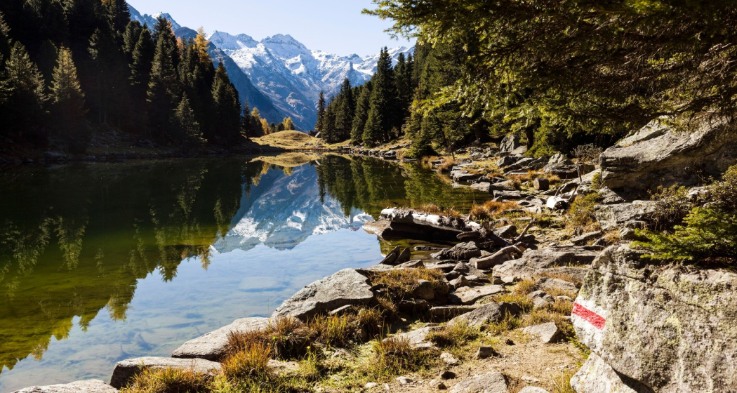
Starting from Andeer, it goes on the historic paths of the ViaSpluga towards Splügen, past the Roffla Gorge to just before the Sufner reservoir. From the junction from the viaSpluga to the Lai Lung, 500 meters of altitude have to be mastered in one kilometre. You will be rewarded by the idyllic mountain lake with a beautiful mountain panorama. Walking in the direction of Promischur, always close to the tree line, you pass the smaller mountain lake Lai Ner and the small mountain huts of Pastgaglias, Molas and Burtgas. From Promischur we descend towards Magun and Cagliatscha. The Golera high-altitude trail turns back into a fantastic single trail above the Cagliatscha ruins and leads trail runners back to Andeer via various loops.
Ausrüstung
Trail running shoes, backpack with drink (water or energy drink), food (bars, gels), windbreaker, mobile phone and emergency kit.
Wegbeschreibung
Andeer - Bärenburg - Rofflaschlucht - Lai Lung - Lai Ner - Molas - Promischur - Magun - Mulegn - Andeer
Anfahrt
Öffentliche Verkehrsmittel
Andeer can be reached by PostBus from Thusis or Bellinzona. Further information can be found in the SBB Online Timetable.
Anreise Information
- From the north on the A13 national road, take exit 24-Zillis.
- On the A13 national road from the south, take exit 25-Andeer.
Plan your journey with the Google route planner.
Parken
There is a public car park at the mineral bath (location Google Maps).
Verantwortlich für diesen Inhalt Viamala Tourism.
Dieser Inhalt wurde automatisiert übersetzt.

Diese Webseite nutzt Technologie und Inhalte der Outdooractive Plattform.


