Lagh de Calvaresc


8 Bilder anzeigen

A circular route that crosses the natural treasures of the Calanca valley, from the renowned heart-shaped lagh de Calvaresc to the barren and rocky landscapes of Piz de Ganan.
Details
Beschreibung
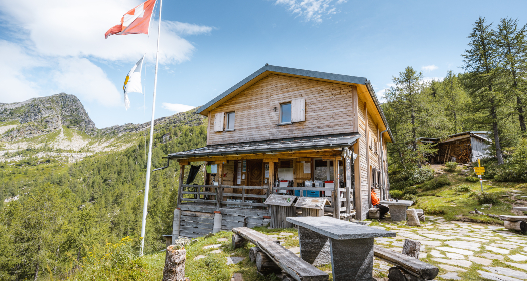
Starting from the village of Rossa in Val Calanca, near the historic parish church of San Bernardo, the path begins to climb into a lush coniferous forest. As you approach Alp de Calvaresc Sott, the vegetation thins out and gives way to vast green meadows. From here, you can continue along the Sentee de Buffalora, which leads to the Buffalora Hut, the only alpine hut in the Calanca Valley managed during the summer. The trail continues on the Calanca Alpine Trail, climbing towards Alp de Calvaresc Sora at 2131 meters, from where a magnificent panorama of the surrounding peaks opens up. In a short time you reach the Lagh de Calvaresc, also known as "the heart-shaped lake" due to its peculiar shape. After passing the lake, you continue to climb to the Bocchetta di Calvaresc, where the route becomes more challenging and runs along the exposed sides of the mountain. From here, the path descends slightly and continues with continuous ups and downs until it reaches Piz de Ganan at 2412 meters. The route continues through a rugged, vegetation-free mountain landscape that leads to the Ganan Hut, located in the middle of the Ganan stone basin. The route then goes around the Piz Largè, until it reaches the Bocchetta di Büscenel at 2157 meters, where it crosses the Calanca Alpine Path again. From here, you can see Valbella in the distance. You continue to descend along the Val Largè, crossing an area covered with rhododendrons and passing by the isolated Cascinot hut at 1614 meters, where there is also a fountain. Continuing the descent, cross the Calancasca stream and finally reach Valbella, from where it is possible to return to Rossa following the paved road.
Sicherheitshinweis
Attention: snowfields are also possible in the summer months in the high-altitude sections. Sure-footedness and no vertigo required
The status of the trail can be found always updated at the following link https://sentiero-calanca.ch/it/notizie
Wegbeschreibung
Red - Buffalora Hut - Lagh de Calvaresc - Ganan Refuge - Valbella - Red
Verantwortlich für diesen Inhalt Ente Turistico Regionale del Moesano (ETRM).
Dieser Inhalt wurde automatisiert übersetzt.

Diese Webseite nutzt Technologie und Inhalte der Outdooractive Plattform.


