Kulturweg Lumnezia


6 Bilder anzeigen

Learn about the history, culture, geology, fauna and flora of Lumnezia.
Details
Beschreibung
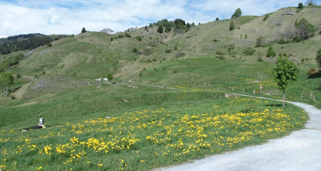
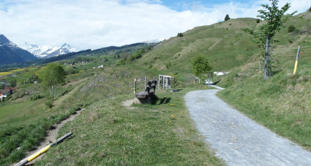
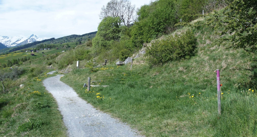
On the way from Vella to the bathing lake Davos Munts you will find information boards on the history, culture, geology, fauna and flora of Lumnezia. Over the approximately two kilometres of hiking trails, more than 30 landmarks bear witness to important events in the eventful history of the valley. Three information boards go into detail about the diverse flora and fauna of the fens. If you feel like exploring everything that grows, meanders, fidgets, flutters, flies and crawls in our latitudes, we recommend our nature and culture trail. An educational path that leads to refreshing bathing pleasure. From Davos Munts, the trail continues via Vignogn and Degen back to Vella.
See also
Surselva Tourismus AG
Info Lumnezia
Palius 32D
7144 Vella
Phone: 0041 81 931 18 58
E-Mail: " target="_blank">info@vallumnezia.ch
Internet: www.vallumnezia.ch
Geheimtipp
Refreshment stops: Vella, Seecafe Davos Munts, Vignogn
Ausrüstung
Good shoes, rain jacket, sun protection
Wegbeschreibung
Vella - Davos Munts - Vignogn - Épée - Pleif - Vella
Anfahrt
Öffentliche Verkehrsmittel
Anreise Information
Parken
Verantwortlich für diesen Inhalt Surselva Tourism.
Dieser Inhalt wurde automatisiert übersetzt.

Diese Webseite nutzt Technologie und Inhalte der Outdooractive Plattform.


