Hängebrücke La Pendenta


4 Bilder anzeigen

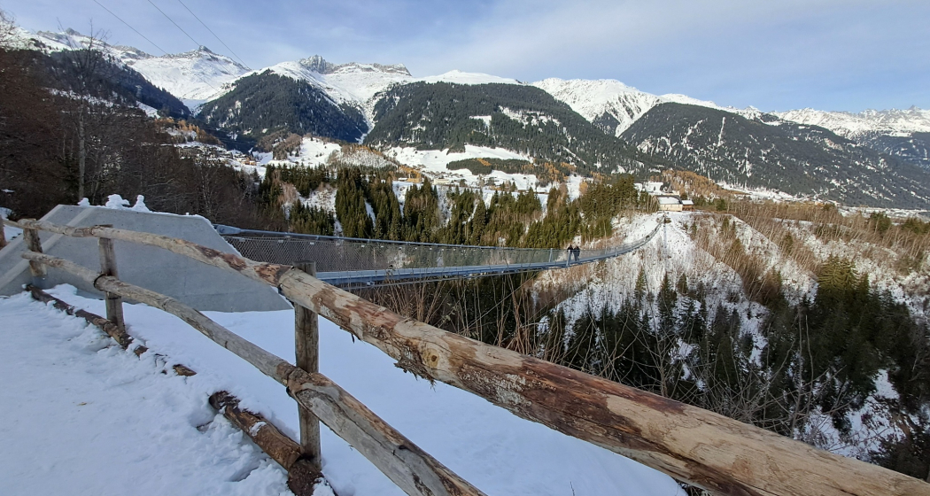
The longest suspension bridge in the canton of Graubünden
Details
Beschreibung
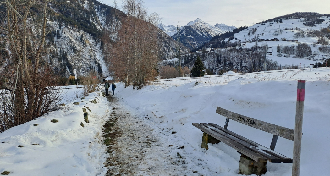
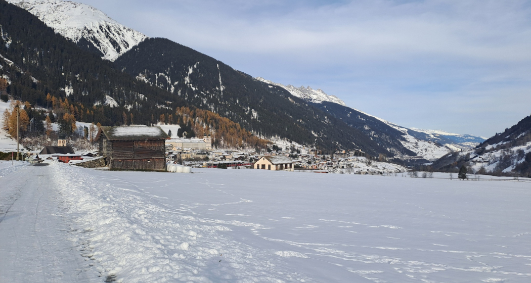
For our sunny afternoon walk, we start at the Center Fontauna in Disentis. On an old, stone-lined path we reach the church of Sontga Gada.
Here it is, the suspension bridge: over a length of 280 meters, it offers us a view of 100 meters into a narrow gorge through which the young Rhine meanders. We take our time and enjoy this new and unusual perspective. In the depths we see a bridge over the river, which is part of the hiking and former mule track that leads to Mompé Medel and on to the Lukmanier Pass.
Info: It may happen that the bridge is not cleared immediately after heavy snowfall.
Geheimtipp
Become a sponsor of the bridge www.lapendenta.ch
Sicherheitshinweis
It may be that after heavy snowfall, the bridge is not cleared immediately.
Wegbeschreibung
Through the facilities of the mini-golf course, we leave the sports centre in a southerly direction. We follow the signs to the church Sontga Gada where the suspension bridge is. Back we turn right after the church. Turn left at the Aclettabach stream and walk along the stream up to the Fontauna Center.
Anfahrt
Öffentliche Verkehrsmittel
By train from Andermatt via Sedrun or from Chur to Disentis, Acla da Fontauna.
Anreise Information
By car from Chur to Disentis, Acla da Fontauna, Center Fontauna.
The Oberalp Pass is closed for winter
Parken
Parking spaces at the sports centre or just opposite
Verantwortlich für diesen Inhalt Sedrun Disentis Tourism SA.
Dieser Inhalt wurde automatisiert übersetzt.

Diese Webseite nutzt Technologie und Inhalte der Outdooractive Plattform.


