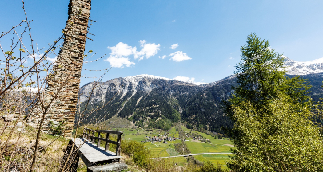
Circular hike from Andeer to the Cagliatscha castle ruins


11 Bilder anzeigen

Leisurely and easy circular hike from Andeer to the Cagliatscha castle ruins and back to Andeer via Clugin.
Details
Beschreibung
The circular hike starts in the spa town of Andeer and leads over the covered wooden bridge to the left side of the Hinterrhein. After the playground, take the forest path that leads up to the left. In a large bend to the right, the trail continues into the forest. We follow the forest path until it joins the forest road. Continue along the forest road until you reach the Cagliatscha Davains fireplace, where you take the hiking trail at the bend in the road towards the Cagliatscha ruins. The castle, built around 1266, is open to the public. From the inviting fireplace right next to it, you can enjoy a magnificent view of the Val Schons.
A mountain hiking trail then takes you down to Clugin. A visit to the listed church with its fairly well-preserved wall paintings inside the church from the first half of the 14th century by the Waltensburg Master is well worthwhile. Take the wide hiking trail of the historic viaSpluga back to Andeer.
Geheimtipp
- Clugin Church
Ausrüstung
Good footwear
Wegbeschreibung
Andeer - Clugin - Andeer
Anfahrt
Öffentliche Verkehrsmittel
Andeer can be reached by PostBus. Further information and timetable details at sbb.ch
Anreise Information
Plan your journey with the Google route planner.
Parken
Free parking lot at the north entrance to the village of Andeer, opposite the mineral baths.
Verantwortlich für diesen Inhalt Viamala Tourism.

Diese Webseite nutzt Technologie und Inhalte der Outdooractive Plattform.


