210 Laus Bike


8 Bilder anzeigen

Details
Beschreibung
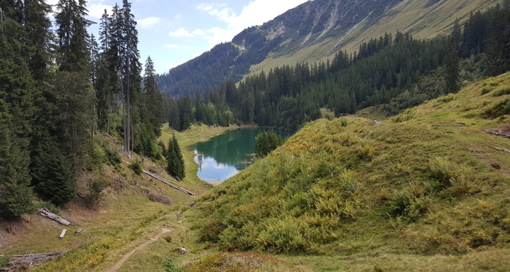
We start at Disentis station quite loosely and roll, sometimes more times less, via Disla and Pardomat to Falens. Here we meet the access road to the small village of Laus, which is still inhabited all year round. In wide bends we screw ourselves further up. It gets steeper and steeper when we turn onto a forest road from the parking lot. And in front of the lake we may even have to push. But then we are at the top! Turquoise, the Lag da Laus lies in a hollow in front of us and a sparkling fresh bath is definitely recommended. But not for cold-sensitive people.
Westwards we leave the lake on a single trail. We cross the two ditches Dargun da Falens and Dargun da Pardomat. Dargun means "dragon" in German and you can well imagine that the streams behave like dragons during storms. For almost two kilometers it is also necessary to descend and push here, because the path is narrow and the terrain sloping. Not for the faint of heart.
But as soon as we reach the forest road in front of the corn wets in Cavardiras, relaxation is announced. But the last ascent from Brulf am Rhein up to the train station has to be after all.
Geheimtipp
Sicherheitshinweis
Ausrüstung
Wegbeschreibung
Anfahrt
Öffentliche Verkehrsmittel
Anreise Information
Parken
Verantwortlich für diesen Inhalt Sedrun Disentis Tourism SA.
Dieser Inhalt wurde automatisiert übersetzt.

Diese Webseite nutzt Technologie und Inhalte der Outdooractive Plattform.

