Walser trail Safiental (3 days)
Schwer
38 km
12:00 h
2345 Hm
1288 Hm


4 Bilder anzeigen

Walser Trail Safiental (Stages 1- 3)
Beste Jahreszeit
Jan
Feb
Mär
Apr
Mai
Jun
Jul
Aug
Sep
Okt
Nov
Dez
Start
Versam
Ziel
Turrahus
Koordinaten
46.807325, 9.310067
Details
Beschreibung
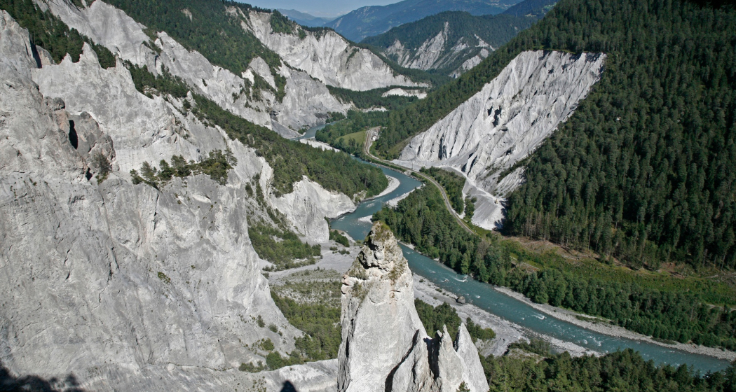
The Safien Walser Trail runs in 3 stages from the Rhine Gorge to the back of the Safien valley. The main direction leads from north to south, into the valley.
Verantwortlich für diesen Inhalt Surselva Tourism.

Diese Webseite nutzt Technologie und Inhalte der Outdooractive Plattform.


