Süsom Givè - Chaschlot - Valbella - Tschierv Biotope la Stretta
Geschlossen
Mittel
13.9 km
5:30 h
482 Hm
960 Hm


5 Bilder anzeigen

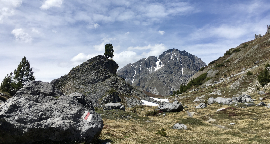
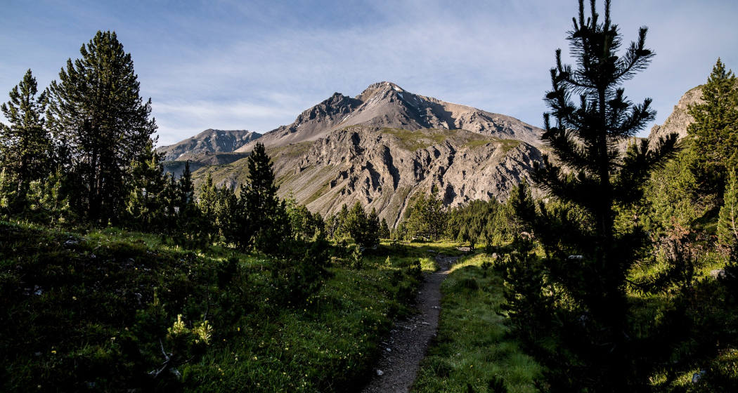
On this hike you will usually see lots of flowers and a forest floor that is particularly pink in autumn (God da Munt - the only Erica pine forest in Val Müstair).
Beste Jahreszeit
Jan
Feb
Mär
Apr
Mai
Jun
Jul
Aug
Sep
Okt
Nov
Dez
Koordinaten
46.639737, 10.292497
Details
Beschreibung
Throughout the season, this hike is considered to be very rich in flowers and in autumn the forest floor at God da Munt (the only Eriak pine forest in Val Müstair) even turns pink. The hike ends at the La Stretta biotope in Tschierv.
Sicherheitshinweis
Die Tour wurde bei günstigen Witterungsverhältnissen bewertet, die aktuellen Witterungsverhältnisse und Wettervorhersagen müssen vor dem Tourenstart zwingend beachtet werden.
Notruf:
144 Notruf, Erste Hilfe
1414 Bergrettung REGA
112 Internationaler Notruf
Ausrüstung
Good shoes, rain and sun protection, water bottle, first-aid kit.
Wegbeschreibung
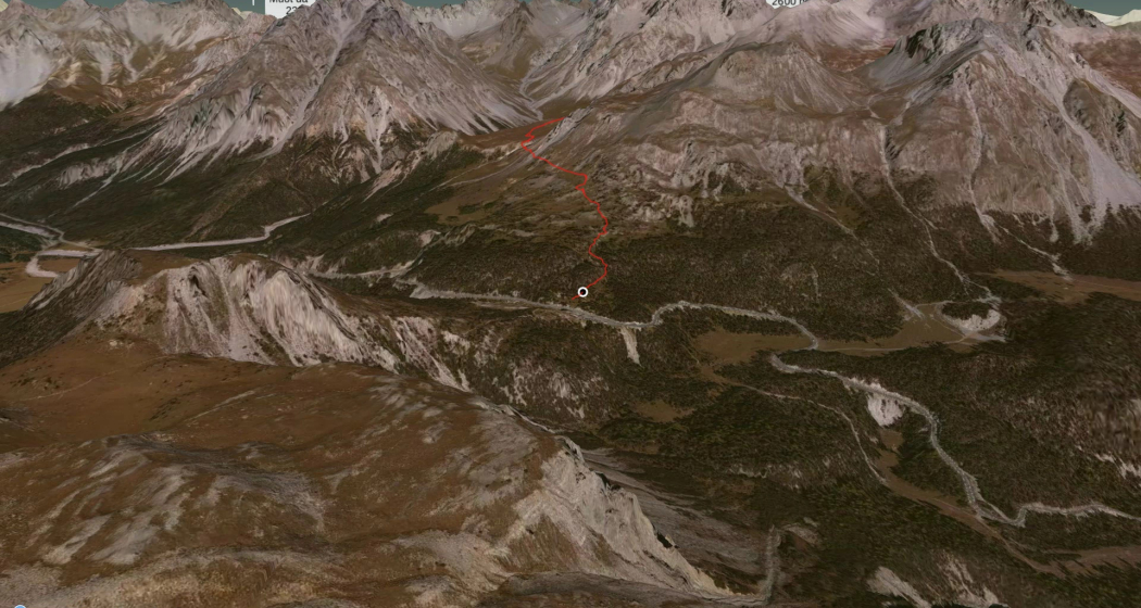
Beginn der Wanderung auf der Ofenpasshöhe "Süsom Givè, von dort dem Wanderweg entlag bis zum Chaschlot und weiter nach Valbella. Von Valbella führt die Wanderung über die Fuorcla Funtauna da S-charl wieder ein Teilstück Richung Ofenpass wo es dann nach ca. 1/3 Weg abzweigt auf die Senda Val Müstair bis zum Lai da Juata. Vom Lai da Juata erfolgt ein etwas steiler Abstieg nach Tschierv zum Biotop La Stretta.
Anfahrt
Öffentliche Verkehrsmittel
- With the Rhaetian Railway (from Chur, Landquart/Prättigau, from the Upper or Lower Engadine) hourly to Zernez
- Continue by PostBus from Zernez or from Val Müstair and Mals every hour to Süsom Givè
Anreise Information
- From the north: via Landquart – Klosters by car transport through the Vereina tunnel (Selfranga - Sagliains) or over the Flüela Pass to Zernez on H27. From Zernez on the H28 towards Val Müstair to the Süsom Givè pass (30 minutes from Vereina south portal)
- From the east: via Reschen Pass (Nauders) on the SS40 to Mals. From Mals on the SS41 to the Swiss border to Müstair. From Müstair on the H28 towards Zernez to the Süsom Givè pass
- From the south: Via Bolzano and Merano on the SS40 to Mals. From Mals on the SS41 to the Swiss border to Müstair. From Müstair on the H28 to the top of the Süsom Givè pass
Parken
Parking is available at the Hotel Süsom Givè.
Verantwortlich für diesen Inhalt Tourism Engadin Scuol Samnaun Val Müstair AG.
Dieser Inhalt wurde automatisiert übersetzt.

Diese Webseite nutzt Technologie und Inhalte der Outdooractive Plattform.


