Sardona-Rundgang Feldis


9 Bilder anzeigen

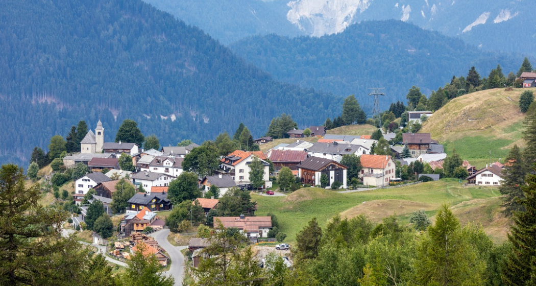
An easy circular hike from Feldis that offers magnificent views of the UNESCO World Heritage Tectonic Arena Sardona and the unique visibility of mountain building.
Details
Beschreibung
The family-friendly circular trail leads through the village of Feldis and to the viewpoint of the UNESCO World Heritage Site Sardona. The viewpoint and the panorama board were completed in August 2022. There you will gain unique insights into the history of the formation of the alpine mountains and valleys. The Sardona area has great value for schools and research, as it is a witness to the mountain building processes and plate tectonics. For more than two centuries, scientists from all over the world have been researching the processes of mountain formation. In the Sardona World Heritage Site, for example, they reveal the secrets of the formation of mountains. Further information about the UNESCO World Heritage Site Sardona can be found here.
Please note that the circular route is not barrier-free and therefore not accessible with wheelchairs and prams.
Any hiking trail closures/restrictions or diversions can be found here.
Geheimtipp
Sicherheitshinweis
Please note that the circular route is not barrier-free and therefore not accessible with wheelchairs and strollers.
Wegbeschreibung
Feldis village square - Feldis schoolhouse - Feldis mountain station - Sardona viewpoint - Feldis Konsum - Feldis village square
Anfahrt
Öffentliche Verkehrsmittel
The village of Feldis can be reached by post bus or cable car from Rhäzüns. The timetable can be found under www.sbb.ch
Anreise Information
On the A13, take exit 20-Rothenbrunnen. Then continue via Tomils on the cantonal road to Feldis. Plan your journey with the Google Route Planner
Parken
Feldis
Paid parking at the entrance to the village (CHF 5.– per day / CHF 15.– per week).
Rhäzüns
Free parking spaces are available directly at the valley station of the Rhäzüns cable car.
Verantwortlich für diesen Inhalt Viamala Tourism.
Dieser Inhalt wurde automatisiert übersetzt.

Diese Webseite nutzt Technologie und Inhalte der Outdooractive Plattform.


