Rundtour Tschappina


8 Bilder anzeigen

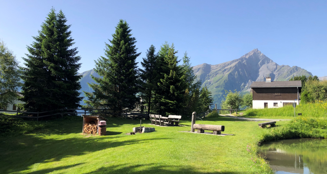
A beautiful round trip above Tschappina am Heinzenberg.
Details
Beschreibung
The tour starts in Obertschappina and leads uphill to the Bruneir junction. The signposts continue from Bruneir to Oberurmein. From there it goes uphill again to the junction Obergmeind. Here the route leads towards Obergmeind and returns via «Ufforstig» back to Obertschappina.
Any hiking trail closures/restrictions or diversions can be found here.
Geheimtipp
Take a break and cool off in Lake Patrug in Oberurmein.
Wegbeschreibung
Obertschappina - Bruneir - In den Bergen - Oberurmein - Abzw. Obergmeind - Chalberweid - Obergmeind - Ufforstig - Obertschappina
Anfahrt
Öffentliche Verkehrsmittel
Obertschappina can be reached by PostBus. Further information and timetable information can be found at www.sbb.ch.
Anreise Information
On the A13, take exit 21-Thusis-Nord. At the roundabout direction Heinzenberg. Then follow the signs to Tschappina. Plan your journey with the Google route planner.
Parken
Free parking at the start of the round trip.
Verantwortlich für diesen Inhalt Viamala Tourism.
Dieser Inhalt wurde automatisiert übersetzt.

Diese Webseite nutzt Technologie und Inhalte der Outdooractive Plattform.


