Plaun da Lej - Grevasalvas - Blaunca - Plaun da Lej
Mittel
6.1 km
2:15 h
249 Hm
236 Hm


4 Bilder anzeigen

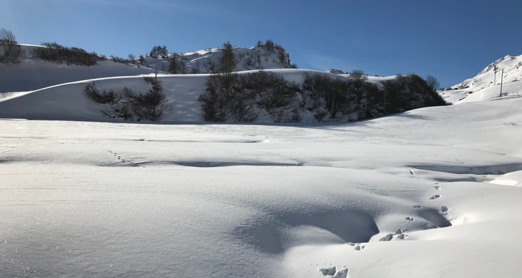
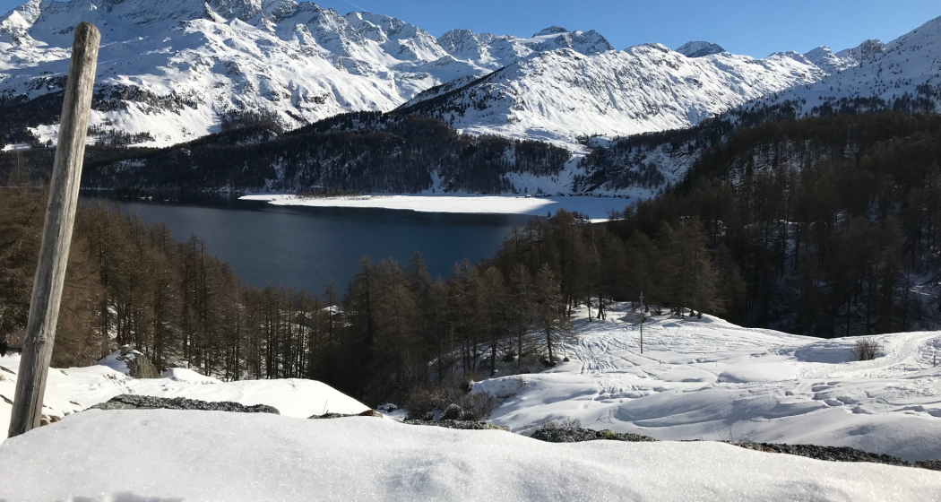
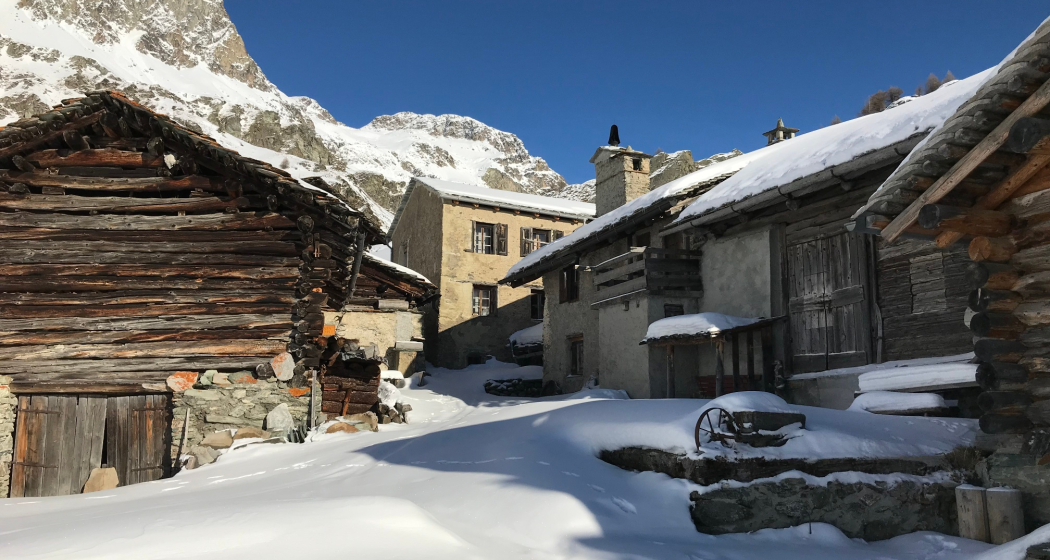
Snowshoe hike to Grevasalvas and Blaunca. On the sunny side of Lake Sils you have a great view of the Engadin and Bergell.
Beste Jahreszeit
Jan
Feb
Mär
Apr
Mai
Jun
Jul
Aug
Sep
Okt
Nov
Dez
Start
Plaun da Lej
Ziel
Blanca
Koordinaten
46.421012, 9.726363
Details
Beschreibung
From Plaun da Lej you follow road that connects Grevasalvas with the world also in winter. There you turn south-west and follow the last part of the Engadin High Altitude Trail to Blaunca.
You return to Plaun da Lej along the same route.
You return to Plaun da Lej along the same route.
Geheimtipp
In Plaun da Lej the restaurant "Murtaröl" offers a fabulous fish cuisine, which is famous throughout the Engadin. The excursion is worthwhile!
Sicherheitshinweis
Consult the avalanche bulletin before starting.
Ausrüstung
Snowshoes, winter clothing
Wegbeschreibung
From Plaun da Lej you follow the farm road that connects Grevasalvas with the world even in winter. Once there, turn southwest and follow the last part of the Engadine High Trail to Blaunca. On the same route we return to Plaun da Lej.
Anfahrt
Öffentliche Verkehrsmittel
Anreise Information
Parken
Parking is available at Plaun da Lej.
Verantwortlich für diesen Inhalt Bregaglia Engadin Turismo.
Dieser Inhalt wurde automatisiert übersetzt.

Diese Webseite nutzt Technologie und Inhalte der Outdooractive Plattform.
