Innerarosa – Schwellisee lake – Alpenblick – Innerarosa


6 Bilder anzeigen

Details
Beschreibung
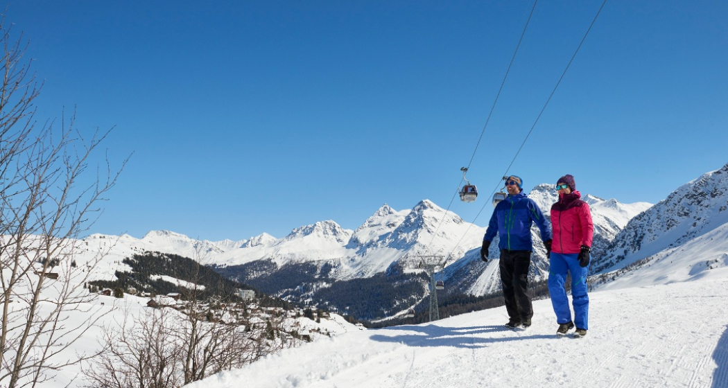
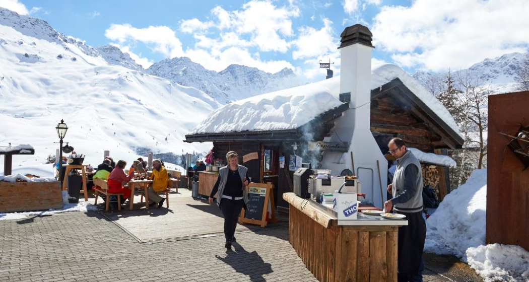
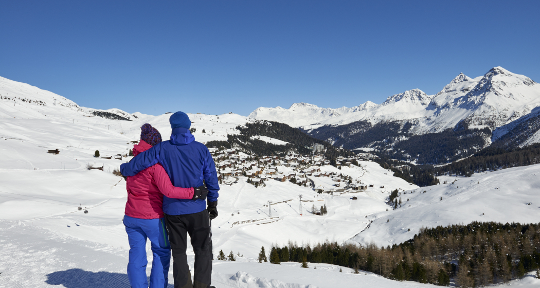
From Innerarosa, the trail leads past snow-covered winter landscapes to the Schwellisee lake. The Plessur flows through the Schwellisee, which was formed by a landslide from the Schafrügg. The area around the Schwellisee was once surrounded by a pine forest, which the Walsers cleared. Above the lake, individual stone pines bear witness to that time. The trail continues to the Alpenblick mountain restaurant and then back to Innerarosa. From there it is worth making a detour to the Bergkirchli, the oldest building in Arosa. On the sunny wooden benches you can also enjoy the panorama with the Erzhorn and Arosa Rothorn. From the church it is not far to the local history museum in the Eggahuus, a knitted building built around 1600. The local history collection includes a weaving room, stuffed animals and a "sports section" with old skis and sledges.
Geheimtipp
Sicherheitshinweis
Please see the current winter sports report.
Ausrüstung
Wegbeschreibung
Anfahrt
Öffentliche Verkehrsmittel
The Rhaetian Railway leaves Chur to Arosa and back at hourly intervals. Take the local bus towards "Hörnli" and get off the bus stop "Gada".
Anreise Information
Parken
Verantwortlich für diesen Inhalt Graubünden Ferien.
Dieser Inhalt wurde automatisiert übersetzt.


