Info Point Heidiland
Hans Brühlmann Circular Trail, Station 2

Beschreibung
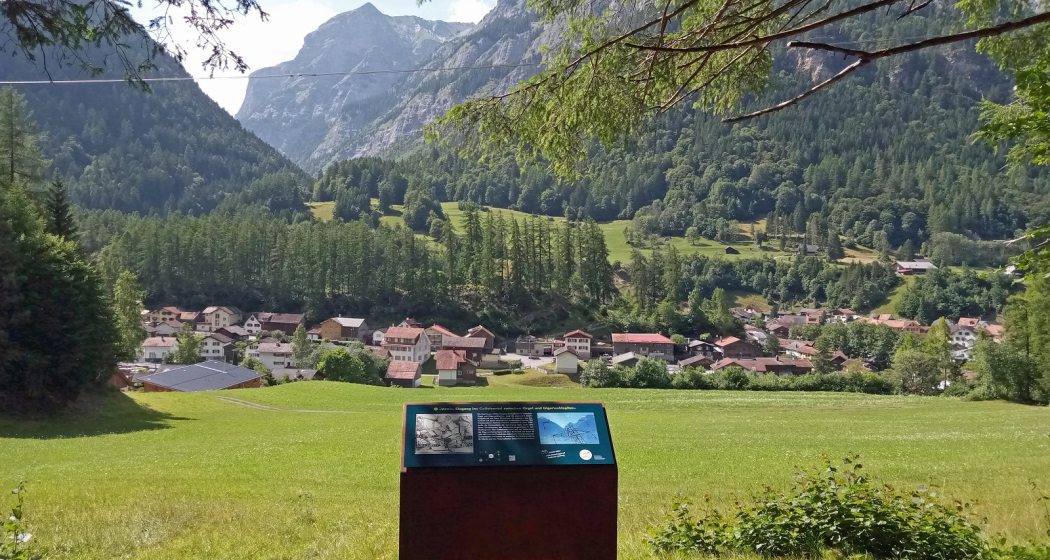
Müliboden with a view of Langgasse and the Calfeisental.
The Görbsbach with its spring water from the Kunkels - also called Mühlbach because of the mills - was a good drinking water supply for the people and livestock of the people living in the corner and on the Langgasse (called "Hinterbrüggler"). Because the Langgasse was located far above the Mühlbach, Wasserwegli was needed for a direct connection. One of these has been preserved, it is even written on and is also trailed in winter. In the past, there were even more such waterways. Until the current water supply was put into operation in 1890, Vättis had only one public village fountain on the church square: it was fed by the Trögli above Vättis (around Poppali stone). The route is still visible behind and above the houses on the slag heap. The Tamina, then called "Grossbach", or "Grausbach" in the then Vättner German, was easily accessible for the "Vorderbrüggler". Clearly visible from this location is Vättis as the gateway to the Calfeisen Valley, to the secluded wilderness. In the past, it was almost impossible to get through where the Gigerwald dam now stands. For example, the Calfeisen Valley was not originally settled from Vättis, but from behind, from the Sardona Pass and the Trinserfurgga from the Surselva. From 1300 to 1652/1653, the Calfeisen Valley was inhabited all year round by the Free Walsers. They built their little church of St. Martin in 1312. Since 2003 there has been the Förderverein Pro Walsersiedlung St.Martin und Calfeisental.
Today, the Calfeisen Valley is the centre of the Sardona Tectonic Arena World Heritage Site. 10 Alps with 1000 head of cattle, shepherded by hearty and rustic alpine farmers, are home in summer. Their pagan-Christian alpine blessing is legendary. Flora and fauna are well known: ibex, bearded vultures, black grouse and many other animals are native, part of the area belongs to the federal ban area Grey Horns. Hiking trails lead to the SAC hut Sardona at 2158 metres above sea level – and from there on to Weisstannen (SG), Elm (GL) and Flims (GR). The 36.5° warm healing water of Bad Pfäfers, Bad Ragaz and Valens comes from the Sardona area. The Ringelkette is the highest mountain range in the canton of St.Gallen.
Wegbeschreibung
Öffentliche Verkehrsmittel
By train to Bad Ragaz and then by post bus to Vättis.
Anfahrt
Motorway exit Bad Ragaz. Take the mountain road in the direction of Pfäfers/Valens to Vättis.
Karte
Hans Brühlmann Circular Trail, Station 2
Verantwortlich für diesen Inhalt Graubünden Ferien.
Dieser Inhalt wurde automatisiert übersetzt.