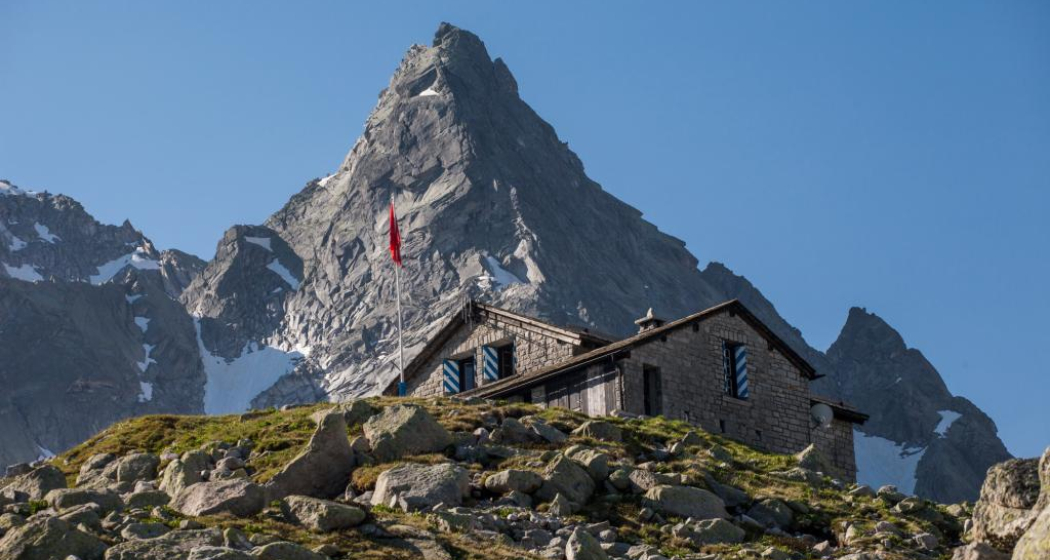
Cima di Castello


3 Bilder anzeigen

Details
Beschreibung
Geheimtipp
Sicherheitshinweis
Ausrüstung
Wegbeschreibung
From the hut you descend and cross the torrent of the Vadrec dal Cantun. The path continues, inserted into the rocks on the eastern shore of the reservoir. On this route, the route runs up and down and is equipped with metal ladders and railings in places. Once you have bypassed the last rocky spur that forms the foundation of Punta Albigna, turn left and climb up a steep embankment of boulders to a moraine edge.
You stop at the northern edge of the depression between the ridges that descend from the Cima dal Cantun and the Cima di Castello, and which is occupied by the Vadrecdal Castel Nord. The small path that follows the moraine ridge ends at the foot of a rock face. At this point, you climb the glacier and pay attention to the crevasses. Once you reach the upper part, which is wider and flatter, you head towards the pronounced saddle at the base of the summit of the Cima di Castello, called Bocchetta dal Castel (3106 m). You cross the saddle and come to the opposite side, where you come across the ascent route from the Bonacossa hut in Val di Zocca. The only thing left to do is to overcome the last slope (about 40°) with caution in order to reach the highest point of the snow dome, i.e. the summit of the Cima di Castello. The descent is along the same route.
Anfahrt
Öffentliche Verkehrsmittel
Anreise Information
Verantwortlich für diesen Inhalt Bregaglia Engadin Turismo.
Dieser Inhalt wurde automatisiert übersetzt.

Diese Webseite nutzt Technologie und Inhalte der Outdooractive Plattform.


