Bluäma Wäg Avers (Flower Walk)


6 Bilder anzeigen

Details
Beschreibung
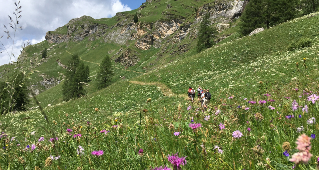
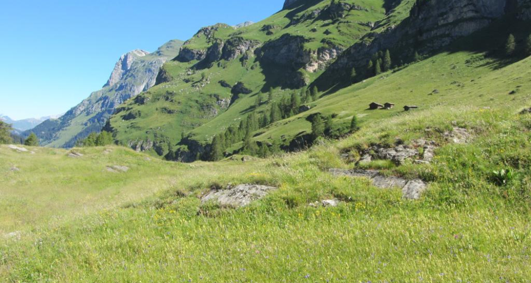
After a short stretch, a first, purple flowering meadow follows, the scent of which seems to be in the air: there are magnificent carnations in large numbers. Shortly afterwards, the first stands of the massive Alpine mountain saddle with their large, purple flower heads appear. Past old mountain huts, the path soon becomes lonely and leads through former wild hay fields, where a good dozen plant species shine in purple variations for the favor of bees and butterflies, including the purple shiny scabiosis. The splendour of the flowers is impressive, as is the steepness of the slopes. The cultivation of these remote mountain meadows was successively abandoned until the early seventies, and today they lie fallow.
A project by Pro Natura Graubünden aims to mow them regularly again so that the original diversity is further promoted. At the highest point of the hike, at 2100 metres, the violet-blue flowering Himmelsleiter grows, further down in the tall herbaceous meadow near the Starlera mountain pasture, you will encounter the pruned lice herb with its purple overflowing leaves and the violet-blue flowering Scheuchzer's Rapunzel.
Any hiking trail closures/restrictions or diversions can be found here.
Geheimtipp
Sicherheitshinweis
Good to know:
The narrow path is often sloping and exposed and requires good surefootedness. In wet weather, the hike is not recommended due to the risk of slipping. Not suitable for strollers and not suitable for children!
Ausrüstung
Wegbeschreibung
Anfahrt
Öffentliche Verkehrsmittel
Avers-Cröt and Innerferrera can be reached by post bus. Further information and timetable information can be found at www.sbb.ch.
Verantwortlich für diesen Inhalt Viamala Tourism.
Dieser Inhalt wurde automatisiert übersetzt.

Diese Webseite nutzt Technologie und Inhalte der Outdooractive Plattform.

