631 Durannapass - Strelapass (suitable for E-MTB)

Geschlossen
Schwer
66.5 km
7:20 h
2900 Hm
2900 Hm


8 Bilder anzeigen

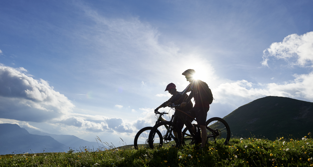
This challenging circular tour from Arosa via Langwies to Davos and back runs along old Walser trails and is packed with variety – from moor and meadow land by the Duranna Pass to the rock gallery at the Strela Pass.
Beste Jahreszeit
Jan
Feb
Mär
Apr
Mai
Jun
Jul
Aug
Sep
Okt
Nov
Dez
Start
Arosa
Ziel
Arosa
Koordinaten
46.783115, 9.679572
Details
Beschreibung
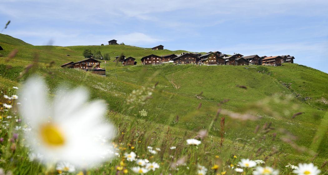
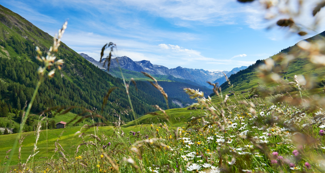
The route starts in Arosa and for the first kilometres runs along a good forest trail past the turquoise Isel Reservoir through Litzirüti to Langwies. Below the Langwies railway viaduct the trail ascends steadily past Langwies through the Fondeier Bach Valley. The two mountain inns in the old Walser settlement of Strassberg are ideal for a break before tackling the final push across moor- and meadowland to the Grünsee by the Duranna Pass. The descent via Schifer and Cavadürli to Davos continues in the same vein. From Davos the terrain changes. First there is an intense climb with just under 700 metres elevation gain via a road to the Parsennbahn middle station. Then you are rewarded with the stretch to the Strela Pass through the rock gallery with its farreaching panorama view. And you could always stop at the Restaurant Strelapass for, for example, a delicious cake. The route continues on the other side of the pass along a single track back to the Schanfigg. A challenging descent leads from the craggy pass area to the sap green Sapün Valley with tradition-rich Walser settlements. The ascent from Langwies to Arosa is the route’s finale.
Geheimtipp
Stopp im Berggasthaus Strassberg.
Sicherheitshinweis
In Davos Klosters there are many alps with livestock farming. Therefore, you can expect to encounter animals everywhere. Please be considerate and drive the terrain at an appropriate
speed.
Wegbeschreibung
Arosa - Durannapass - Davos - Strelapass - Arosa
Anfahrt
Öffentliche Verkehrsmittel
Mit dem Zug (RhB) bis Davos Platz, kurze Fahrt mit dem Bike zum Tourismus- und Sportzentrum Davos (Ausgangspunkt) .
Anreise Information
Ab Chur gehts ca. 40 Minuten auf kurvenreicher Strasse aufwärts. Die Schanfiggerstrasse schlängelt sich durchs Tal und überwindet auf 30km und rund 360 Kurven 1320m Höhendifferenz.
Parken
Beim Obersee am Dorfeingang befindet sich das Parkhaus Ochsenbühl in welchem Sie für CHF 6.00 im Tag parkieren können.
Verantwortlich für diesen Inhalt SwitzerlandMobility.
