Viewpoint Prättigau
Rätikon Grenzmassiv


4 Bilder anzeigen

Beschreibung
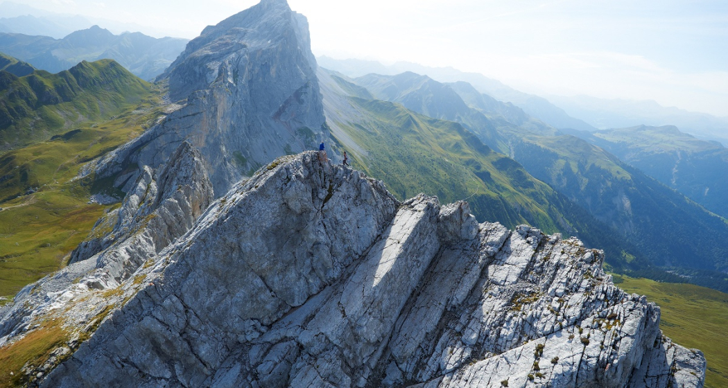
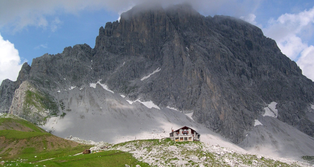
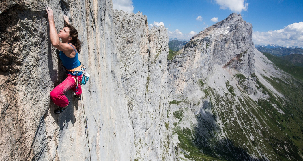
The Rätikon is shared by 3 countries: Switzerland, Austria and the Principality of Liechtenstein. In total, there are around 300 named peaks in the Rätikon, all below 3000 meters. The Rätikon is also an issue in climbing circles: climbers from all over the world make a pilgrimage to Prättigau.
In addition to a diverse network of hiking trails, the Rätikon offers a variety of climbing opportunities on the border with Austria. Countless climbing routes in the best flat limestone await in the kilometer-long walls, which extend from the Schijenfluh to the Kirchlispitzen. The climbing area is also appreciated in international climbing circles for its diversity, and several climbing guides have already been dedicated to it.
The 10 highest peaks:
Schesaplana, 2964 m above sea level.M.
Panüelerkopf, 2859 m a.M.M.
Salaruelkopf, 2841 m a.M.M.s.l.
Felsenkopf, 2833 m a.s.l.
Three towers, Large Tower 2830 m a.s.M..M.
Drusenfluh, main summit, 2827 m a.s.l.M.
adrisahorn, 2826 m above sea level.M
. Sulzfluh, main summit 2817 m a.M.
Sulzfluh, west summit 2812 m above sea.M
level, 2806 m above .M.
Karte
Rätikon Grenzmassiv
Verantwortlich für diesen Inhalt Prättigau Marketing.
Dieser Inhalt wurde automatisiert übersetzt.

Diese Webseite nutzt Technologie und Inhalte der Outdooractive Plattform.